
Hadley Rille
A sinuous channel interpreted as an ancient volcanic feature near the Apollo 15 landing site.
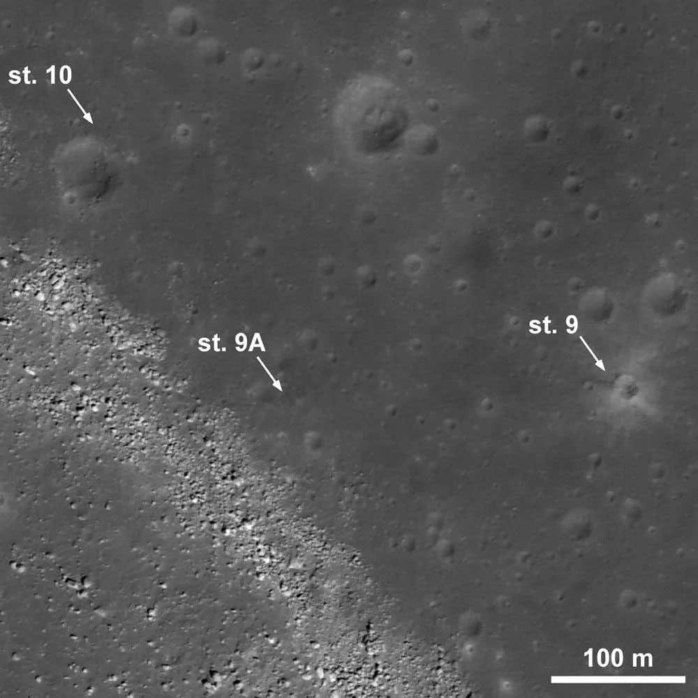
What you are looking at
Hadley Rille is a winding channel roughly 1 to 1.5 km wide in places and hundreds of metres deep. Its meandering form resembles collapsed or open lava-channel systems rather than an impact structure.
How it formed and changed
The rille formed during ancient volcanic activity associated with mare basalt emplacement. Apollo 15 astronauts examined the terrain from nearby stations, giving scientists rare ground-level context for a major lunar volcanic landform.
What scientists learn here
Apollo photography and samples around the rille helped connect orbital morphology with basaltic volcanic processes. The site demonstrates how crew mobility can place geological observations within a broader landscape rather than collecting isolated samples.
How to find and observe Hadley Rille
Hadley Rille requires a telescope and favourable seeing. It becomes easiest when low-angle sunlight creates contrast along the channel. The nearby Apennine Mountains and Archimedes region help locate it.
Nearby landmarks and exploration context
The Apollo 15 landing site sits between Hadley Rille and the Apennine Front, making this one of the best documented geological field sites on the Moon.
Why this feature matters
Apollo 15 observations and samples made the area a classic field site for studying lunar volcanism and surface processes.