
Mare Crisium
A distinct circular basaltic basin easily recognised near the eastern limb of the Moon.
What you are looking at
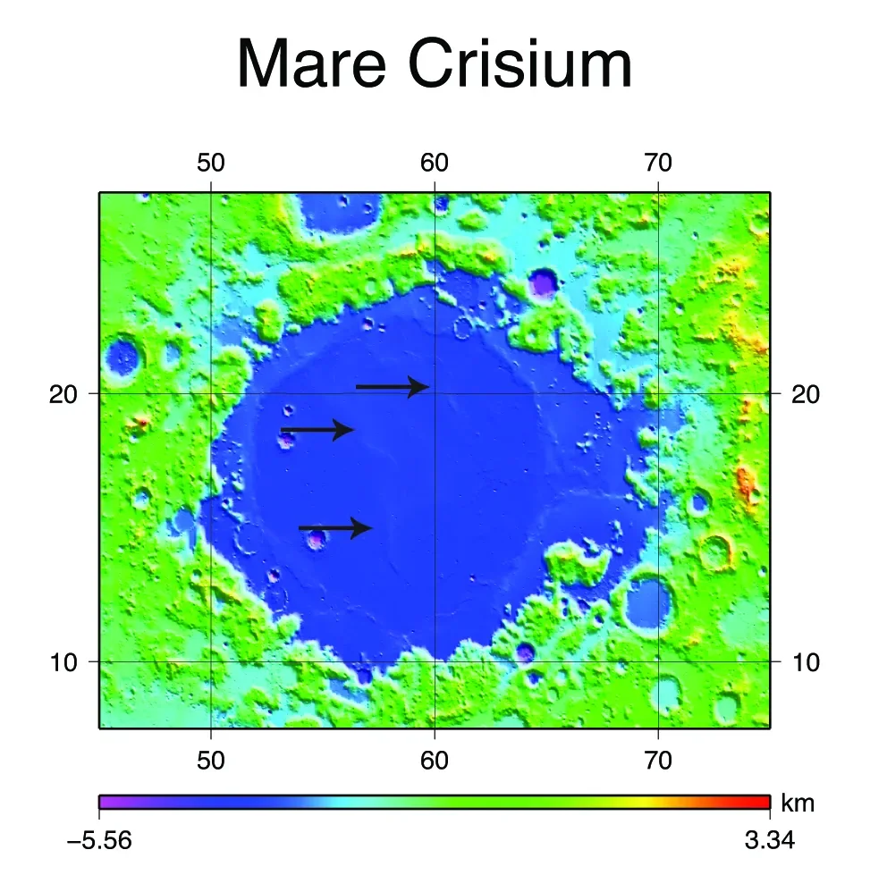
Mare Crisium is a dark, roughly oval isolated mare near the eastern limb of the near side. Mountainous basin margins enclose smooth basalt plains crossed by subtle ridges and small craters.
How it formed and changed
An ancient impact created the basin and later basaltic eruptions flooded its interior. Its isolation from the larger central maria makes its outline especially easy to recognise.
What scientists learn here
Orbital datasets constrain basalt composition, basin structure and surface ages. In 2025 Firefly Aerospace's Blue Ghost Mission 1 landed in Mare Crisium, adding modern in-situ measurements from the region.
How to find and observe Mare Crisium
Mare Crisium is one of the easiest lunar landmarks for beginners. Because it lies toward the eastern limb, libration changes its apparent foreshortening from month to month. Binoculars show the mare clearly and telescopes reveal its boundary and interior craters.
Nearby landmarks and exploration context
Mare Fecunditatis lies to the south-west. The isolated position of Crisium makes it a useful anchor for learning lunar geography.
Why this feature matters
Its isolated geometry makes it a useful observing landmark and it became the landing region for Blue Ghost Mission 1.